MNRC Test Locations For Sunday, Valley County Idaho
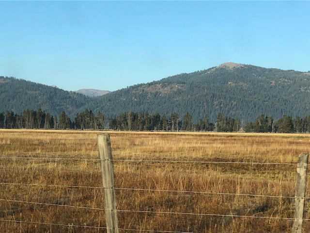
Roberts Ranch: Land
GPS Coordinates: 44.68348, -116.05201
Robert’s Ranch is located South of Donnelly on Hwy 55. Landmarks: 3 Silos on the West side of Hwy 55 and White Hay barn on the East side of Hwy 55 next to the Pumpkin patch sign. The turn into Roberts Ranch is located 1/2-mile South of Davis Creek Road.
PLEASE DRIVE SLOWLY AFTER ENTERING THE PROVERTY AS YOU ARE DRIVING THROUGH THE PROPERTY OWNER’S YARD AND THEY HAVE SMALL CHILDREN.
Mud Creek Land: Land
GPS Coordinates: 44.8037997, -116.1218512
Mud Creek Property is located just North of Donnelly. From Hwy 55 turn West on Smylie Lane. Travel 1.7 miles to Fairbrother Rd. Turn East on Fairbrother Rd and travel approximately ½ miles. Entry into the property will be on your left. Look for flagging tape and Hunt Test sign.
Lundy’s Pond Land
GPS Coordinates: 44.50941, -116.00826
Located Just North of Cascade on Hwy 55 is Lundy’s Pond. From the intersection of Highway 55 and Warm Lake Road proceed East approximately 1.1 miles. Turn South on Thunder City Road for approximately 0.8 miles, the gate will be on the right. Look for Hunt Test sign.
Twin Ponds Land
GPS Coordinates: 44.56171 -116.00844
Located North of Cascade. From the intersection of Hwy 55 and Warm Lake Road, travel East approximately 1.5 miles to marked Private gravel road on the north side of Warm Lake Road. Look for Hunt Test sign. (Landmark: approximately 0.5 miles past Thunder City Road) Turn North on Private Road and travel approximately 1.6 miles, take the right-hand gate at the end of the private road to enter the property. Look for Hunt Test sign
Norwood Ranch: Land
GPS Coordinates: 44.7776301, -116.1087761
Little Valley : Land
GPS Coordinates: 44.116-115.58070
Gold Fork Ranch is located South of Donnelly off Hwy 55. Landmarks: White Hay barn on the East side of Hwy 55 next to the Pumpkin patch sign. Turn East on Davis Creek Lane. Travel East over the bridge until you reach the T intersection. Turn Right. Travel past the Main entry gate to Little Valley Ranch. The test will be located approximately 200 yards past the main gate on the left. Look for Hunt Test sign.
Will’s Pond Land
GPS Coordinates: 44.548897, -116.008433
Located North of Cascade. From the intersection of Hwy 55 and Warm Lake Road, travel East approximately 1.5 miles, go past Thunder City Road on the right, to marked Private Road on the north side of Warm Lake Road. Look for Hunt Test sign. Turn North on Private Road and travel approximately 1.5 miles, the gate will be marked on the right. Look for Hunt Test sign. Please enter through the double gate barbwire. DO NOT enter through the first single gate. Only Workers enter through the green gate.